PT GOMAM NETRA BUANA is a professional consulting company specializing in geosurvey, hydrographic survey, geophysical mapping, and geotechnical investigation. Established in 2010, the company is recognized for its accuracy, professionalism, and consistent delivery across 140+ national projects. We provide high-quality and reliable data essential for safe, informed, and strategic decision-making in construction, energy, marine infrastructure, exploration, and environmental projects.
BUSINESS OVERVIEW
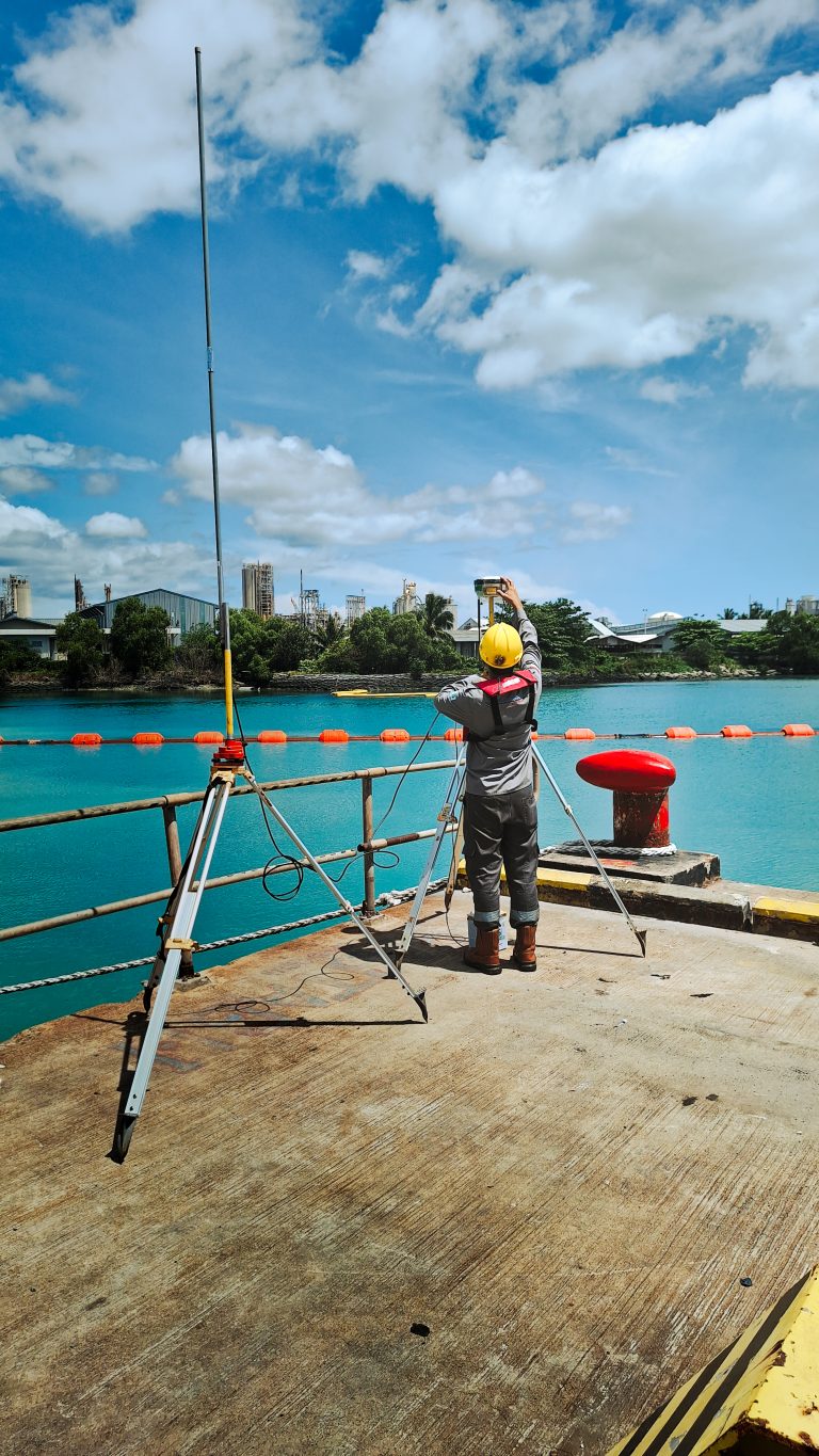
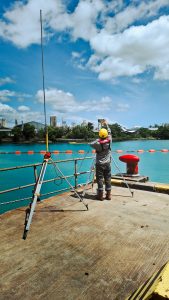
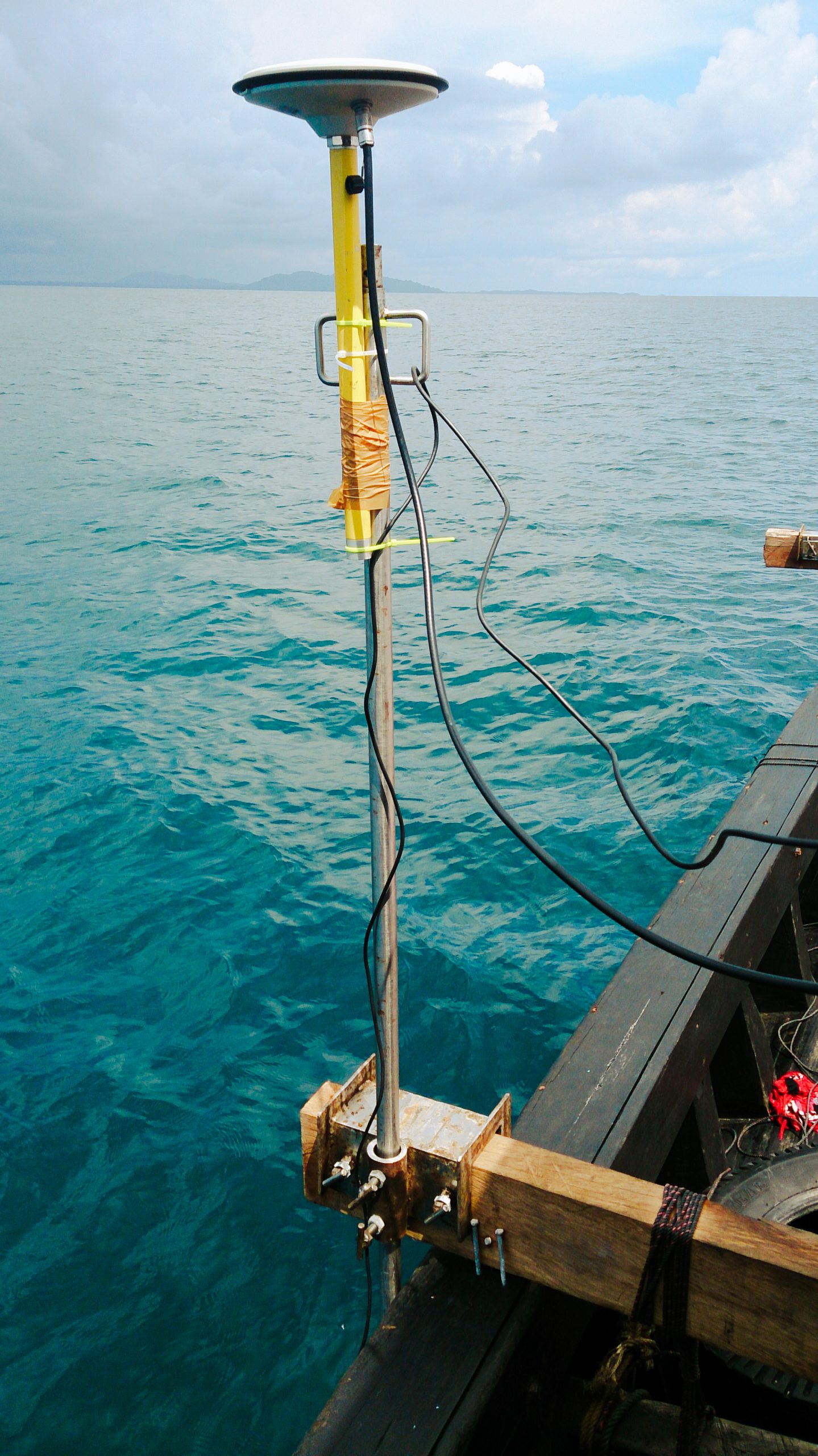
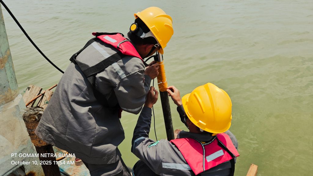
Delivers integrated onshore and offshore survey solutions with a focus on precision, efficiency, and operational discipline. We combine technical expertise, calibrated instrumentation, and structured methodologies to produce clear, engineering-ready data. Our streamlined approach supports clients in construction, energy, marine infrastructure, and environmental sectors, enabling confident planning, design validation, and risk evaluation across diverse project environments throughout Indonesia—while maintaining consistent quality and strong professional standards in every survey.
CORE SERVICE
Provides integrated onshore and offshore survey services designed to support planning, engineering, construction, and environmental assessment. Our capabilities include:
• Hydrographic and Geophysical Data Processing • Structural Interpretation and Mapping • Engineering-Ready Technical Reports • GIS Mapping and Visualization
With more than 140+ successfully completed national projects, GOMAM is supported by deep scientific foundations strengthened through 35 years of marine geological research experience at the Marine Geological Research and Development Center (PPPGL). This combination of applied fieldwork and national-scale research capability ensures strong technical reliability across all survey operations.
Our Amazing Clients
Trusted by government institution, EPC contractors, marine operators, and energy companies through 140+ successfully completed projects across Indonesia.
FEATURED PROJECTS
Selected projects delivered over the last five years. supporting marines infrastructure, energy, geotechnical, and offshore development across Indonesia.